Tracking Earthquakes and Volcanoes
Part 1: Tracking an Earthquake
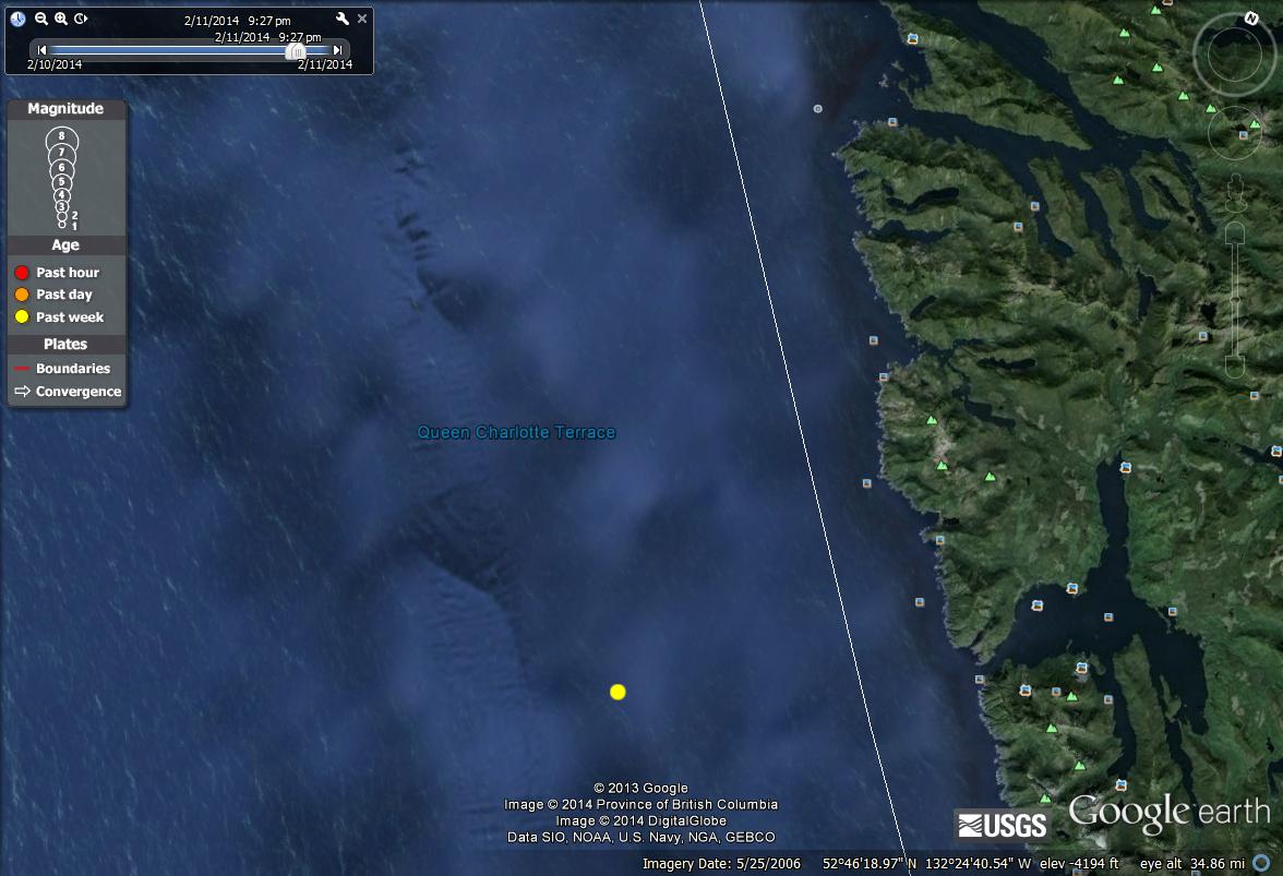
I found an earthquake in the Canada Region
Magnitude: 4.1
Location: Queen Charlotte Islands
Date: February 9,2014
Time: 7:37 a.m.
Depth: 6.21 miles
The basic type of tectonic plate boundary it occurred at was a divergent boundary. Divergent boundaries occur where new lithosphere is being produced and neighboring parts of plates are moving away from each other. This usually occurs at mid-ocean ridges (seafloor regions), and the process is called seafloor spreading. The mid-ocean ridges form when hot material from the mantle rises up to form a broad ridge typically with a central rift valley. It is called a rift valley because the plates are moving apart are pulling the crust apart and splitting, or rifting, it.Magnitude: 4.1
Location: Queen Charlotte Islands
Date: February 9,2014
Time: 7:37 a.m.
Depth: 6.21 miles
I believe this earthquake is located along a divergent boundary because it occurred in the Pacific Ocean, not near the coast. It happened just beneath the San Andreas Fault, which is considered a Transform boundary, but the boundaries change right before locating this earthquake near the Queen Charlotte Islands. Locations of earthquakes define plate boundaries. They are defined by the areas in which concentrated seismic activity occurs. Over geologic time, plates are formed and destroyed, cycling materials from the interior of Earth to the surface and back again at these boundaries.
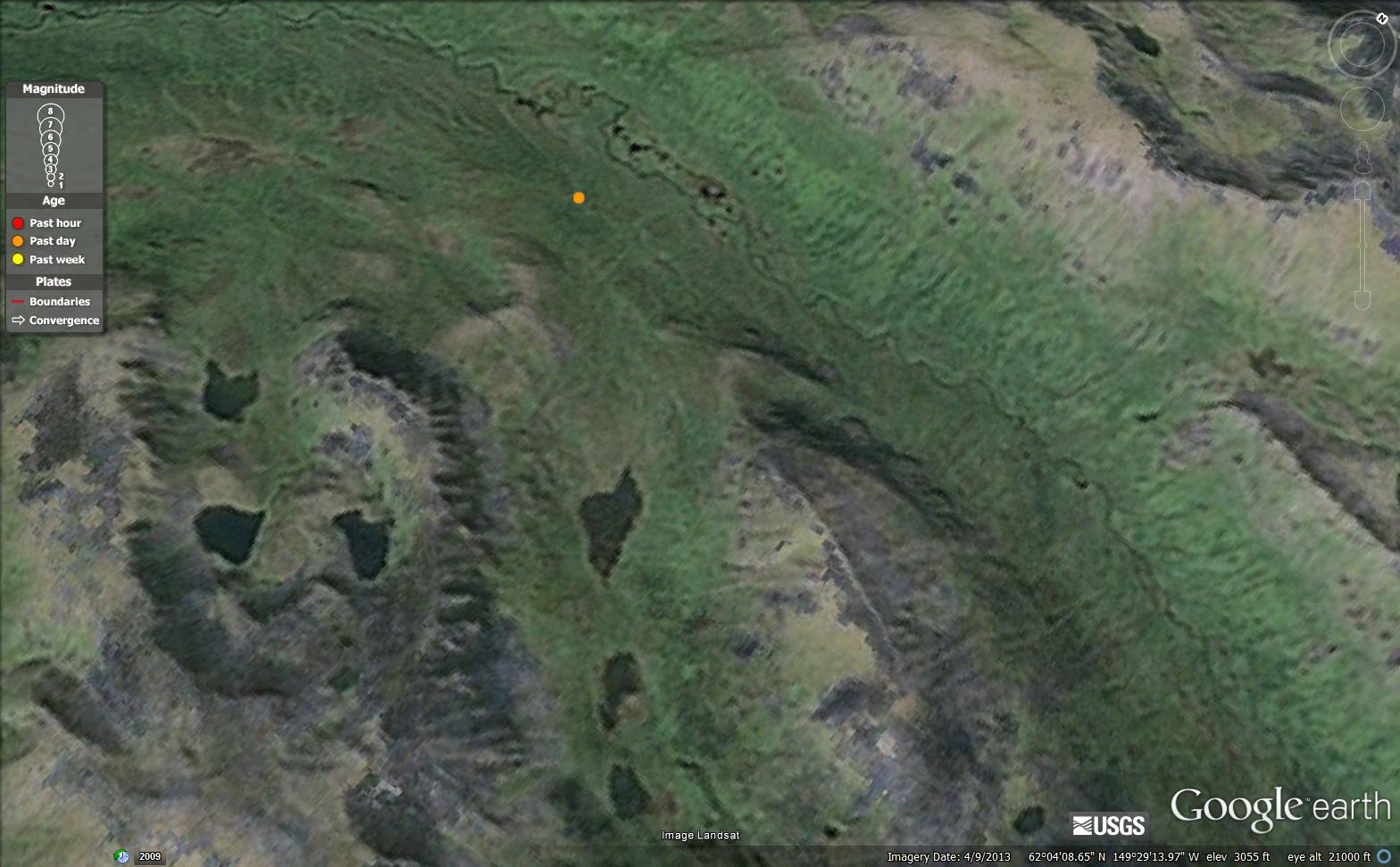
I found this earthquake in Alaska
Magnitude: 4.5
Location: Central Alaska
Date: March 4, 2014
Time: 6:13 p.m.
Depth: 29.20 miles
Magnitude: 4.5
Location: Central Alaska
Date: March 4, 2014
Time: 6:13 p.m.
Depth: 29.20 miles
This type of boundary is an oceanic-continental boundary. When oceanic and continental plactes converge, the oceanic plate must subduct beneath the continental plate because the density of thick continental rust is too low to permit it to sink into the asthemosphere.
I believe this earthquake happened along an oceanic-continental boundary because this type of boundary is found in mountain ranges. This earthquake happened right in the middle of a mountain range. It happened very near the Pacific Ocean, but it was on land.
I believe this earthquake happened along an oceanic-continental boundary because this type of boundary is found in mountain ranges. This earthquake happened right in the middle of a mountain range. It happened very near the Pacific Ocean, but it was on land.
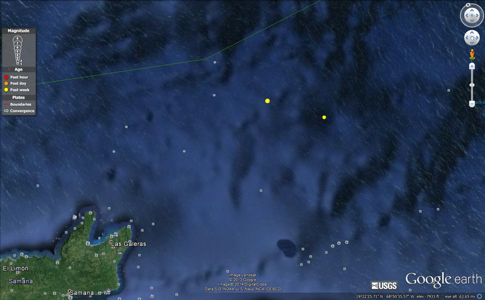
I found this earthquake in the Domican Republic Region
Magnitude: 4.1
Location: Dominican Republic
Date: February 28,2014
Time: 10:14 p.m.
Depth: 137.32 miles
This type of boundary is a transform boundary. Transform boundaries occur where the edges of two plates slide past each other.
I believe this earthquake happened along transform boundaries because it was near the South American Plate. Near here is where three plates border one another and transform boundaries are where edges of plates slide past each other. This earthquake happened near some islands, but was deep in the ocean. Transform boundaries are typical in this area.
Part 2: Identifying Volcanoes
I found four different types of volcanoes.
Name: Dempo
Type: Composite Volcano
Tectonic Plate: Oceanic-oceanic
This volcano is a stratolvolcano (also called composite volcano). It's location is Sumatra, Indonesia. It rises 3,173 miles above the Pasumah Plane of SE Sumatra. There are remnants of 7 craters found at our near the summit. The historically active summit crater of Gunung Dempo contains a 400 mile wide lake.

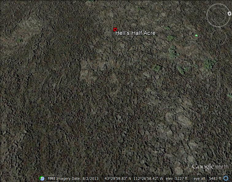
Name: Hell's Half Acre
Type: Shield Volcano
Tectonic Plate: Hot Spots beneath the ocean
Hell's Half Acre is located in Idaho Falls, ID. Hell's Half Acre lava field is the easternmost of the young basaltic lava fields of the Snake River Plain. Interstate 15 crosses the SE margin of the lava field SW of the city of Idaho Falls.
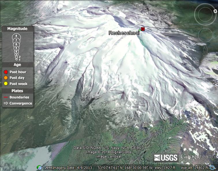
Name: Recheschnoi (Fox Islands)
Type: Cinder Cone
Tectonic Plate: Oceanic-oceanic
Type: Cinder Cone
Tectonic Plate: Oceanic-oceanic
Recheschnoi is located on the Aleutia Islands in Alaska. This volcano is heavily glaciated and is 1,984 miles high. It is located across from the Vsevidof volcano. The Recheschnoi consists of a trending ridge that is dissected by deep glacier-filled valleys. The Geyser Bright geothermal area on the NE plank of Racheschnoi is on of the hottest and most extensive thermal areas in Alaska.It consists of six zones of thermal springs and two fumarolic areas along upper Geyser Creek and contains the only known geysers in the state.
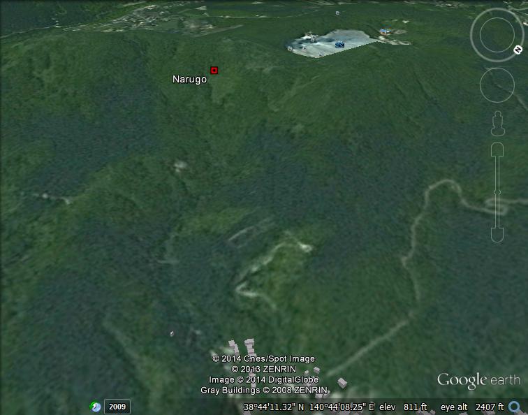
Name: Narugo (also known as Naruko)
Type: Caldera
Tectonic Plate: Hot Spot beneath continent
Type: Caldera
Tectonic Plate: Hot Spot beneath continent
Narugo is located in Honshu, Japan NW of the city Sendai. The caldera formed from eruptions 73,000 and 45,000 years ago. The last eruption known at Narugo was 837 A.D. Water vapor and sulfur-dioxide gas-emission occurs from Shurado crater on Toyagamori lava dome west of the lake and from the bottom of the crater lake, which is one of the most acidic in Japan, with a P.H. of 1.6.